

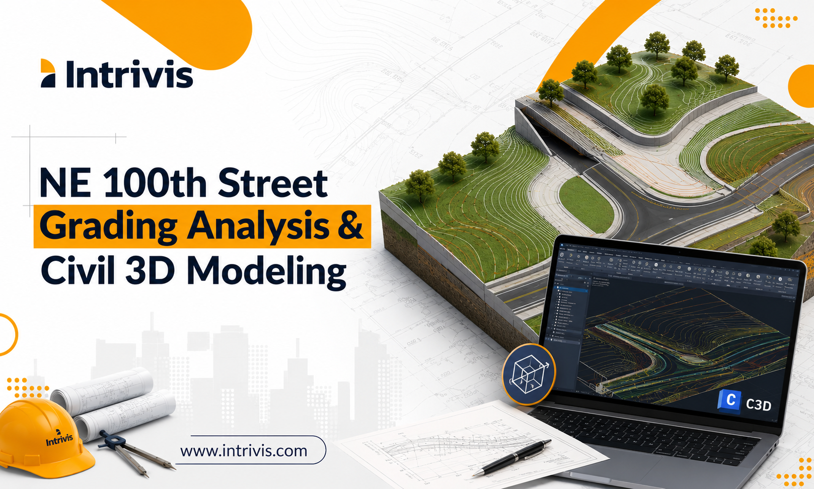
When a civil design project features a highly complex, hilly terrain, moving from concept to construction requires absolute precision. For the NE 100th Street Project in Seattle, Washington, a civil engineering firm faced a common yet high-stakes hurdle: they had a fully approved, beautifully designed 2D grading layout for a steep residential subdivision but lacked the 3D surface models needed to accurately calculate earthwork volumes.
Client Background
The Werk Road Project involved a regional civil engineering consultant specializing in site development, infrastructure, and stormwater management in Ohio. The client operates in a regulated environment where post-development runoff must be controlled in accordance with local stormwater regulations, while land use efficiency remains a core project objective. To meet these needs, the client required assistance in coordinating distributed engineering workflows and connecting hydrologists, modelers, and CAD technicians with the in-house team through a time-zone-aligned, distributed collaboration model. The project site is in Hamilton County, an area noted for development pressure and the need to optimize land use to meet multiple programmatic objectives.
Project Overview
- Project Name: NE 100th Street Project
- Location: Seattle, Washington
- Companies Involved: A civil design firm specializing in commercial and residential development projects (site design, grading, stormwater management, and infrastructure).
- Core Objective: Convert an existing, approved 2D grading design into an accurate 3D model to generate reliable cut-and-fill earthwork quantities for a highly variable, challenging terrain, all without altering the original design intent.
The Solution
To address the lack of 3D data and complex site conditions, Intrivis team utilized Autodesk Civil 3D to faithfully replicate the 2D plans in a fully coordinated 3D environment:
- Surface Modeling: The team evaluated the existing 2D plans and developed both existing and proposed ground surface 3D models.
- Infrastructure Replication: Complex retaining wall systems and specific building pads were carefully modeled for every proposed lot throughout the development.
- Design Preservation: Rather than redesigning the grading layout, the team focused strictly on faithfully replicating the client’s approved design under their supervision, maintaining the exact proposed elevations and original design intent.
Measurable Results
The transition from a 2D design to a comprehensive 3D model delivered highly accurate data that completely eliminated uncertainty in quantity calculations:
- Accurate Earthwork Quantities Generated: The new Civil 3D model provided highly dependable cut-and-fill calculations for the entire hillside development.
- 100% Design Preservation: The team successfully transformed the 2D plans into a 3D model without requiring any redesign, preserving the integrity of the client’s original approved grading layout.
- Improved Project Budgeting: By providing a clear, reliable understanding of grading impacts across the site, stakeholders gained the confidence to execute accurate construction planning, budgeting, and scheduling.
- Enhanced Constructability: The 3D representation allowed for improved constructability reviews and grading verification prior to the start of physical earthmoving activities.
Key Takeaway
The NE 100th Street Project demonstrates how integrating advanced 3D modeling tools (like Autodesk Civil 3D) can salvage and elevate existing 2D designs on challenging terrain. By faithfully converting a 2D layout into a 3D surface model complete with retaining walls and building pads, the engineering team eliminated costly earthwork uncertainties and provided the client with the precise data needed for successful, cost-effective project execution.
Ready to eliminate engineering bottlenecks and protect your project margins? Discover how Intrivis can seamlessly elevate your 2D plans into precise, constructible 3D models by visiting Intrivis today to schedule a free expert consultation.



