

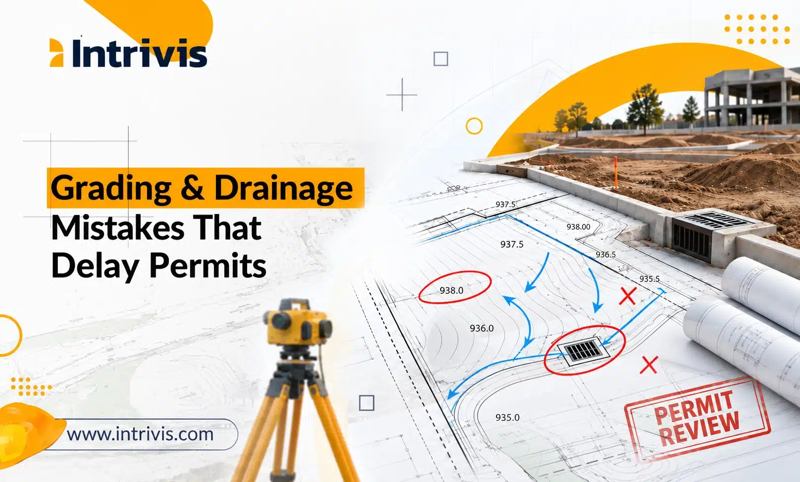
A single unresolved grading conflict can add weeks to a civil project timeline.
From conflicting spot elevations to unclear drainage paths, small documentation gaps can trigger multiple rounds of review comments, redesign work, and delayed approvals.
A grading plan can look complete and still fail its first review. The contours are shown, proposed elevations are labeled, and drainage arrows appear to point in the right direction. Then the comments arrive: demonstrate the outfall, reconcile the spot grades, identify the vertical datum, revise the drainage area map, and resubmit.
Permit reviewers are not only checking whether a site drains. They are verifying whether the documentation clearly proves how water moves across the site, how risks are controlled, and whether every design element is coordinated.
In this blog, we break down the most common grading and drainage documentation issues that slow approvals and the workflows civil teams can use to create clearer, review-ready packages.
The Seven Grading and Drainage Mistakes that Create Review Bottlenecks
1. Existing Conditions Are Incomplete Or Unreliable
A proposed surface is only as credible as the base information beneath it. Plans may omit survey limits, benchmark information, easements, adjacent finished-floor elevations, off-site contours, or the source and date of topographic data.
Better practice: State the datums, benchmark, survey date, contour interval, and data limits. Distinguish surveyed information from GIS, record, or assumed information, and show enough off-site context to explain how water enters and leaves.
2. Spot Elevations And Contours Conflict
Contours may suggest one drainage direction while spot grades, curb elevations, or inlet rims suggest another. Reviewers often find these conflicts at curb returns, loading areas, sidewalks, entrances, retaining walls, and transitions between proposed and existing grades.
Better practice: Run a targeted elevation audit at every geometric break. Check high points, low points, grade breaks, gutter lines, accessible routes, building corners, wall tops and bottoms, and pavement tie-ins. Spot grades should confirm the surface, not compete with it.
3. The Plan Does Not Prove Positive Drainage
Flow arrows alone do not prove that runoff reaches an approved discharge. Flat areas, depressions, abrupt contours, and unverified off-site connections invite comments.
Better practice: Show slopes, critical elevations, drainage structures, overflow routes, and the downstream connection. If an area relies on sheet flow, document its direction and receiving condition. Where ponding is intentional, identify the storage limit and emergency overflow.
4. Drainage Areas Do Not Match The Model Or Calculations
The drainage map, hydrologic model, pipe calculations, and grading plan may be developed at different times. A late grading revision can change subcatchment boundaries without being reflected in the calculations.
Better practice: Give drainage areas stable identifiers and use the same names, acreage, discharge points, and existing/proposed status throughout the package. Perform a final cross-check between plan labels, drainage-area values, discharge points, and the calculation report before issue.
5. Building Interfaces Are Under-documented
Reviewers need to understand how grading protects entrances, slabs, below-grade spaces, utility penetrations, and accessible routes. Missing finished-floor elevations, insufficient freeboard, or unclear foundation transitions can stop a review even when the broader site drains correctly.
Better practice: Coordinate the civil and architectural backgrounds. Show finished-floor elevations consistently and document slopes away from buildings, entrance landings, ramps, steps, areaways, and retaining conditions.
6. Erosion And Sediment Controls Do Not Follow Construction Sequencing
A generic erosion-control sheet may not explain how disturbed soil will be managed as clearing, utility work, grading, stabilization, and final drainage installation progress. EPA’s Construction General Permit framework requires a stormwater pollution prevention plan for covered projects and emphasizes site-specific controls, stabilization, inspections, and corrective actions.
Better practice: Connect controls to phases of work. Identify disturbance limits, perimeter and inlet controls, stockpiles, stabilization, dewatering, and conversion of temporary facilities to permanent systems.
7. Details, Profiles, And Notes Are Disconnected From The Plan
An inlet may have one number on the plan and another in the schedule. Pipe material may differ between profile and notes. A swale section may not match the width or side slopes modeled in the calculations.
Better practice: Use one source of truth for labels and tabulated data wherever the software permits. Before submission, compare the plan, profiles, schedules, details, specifications, and calculations as a coordinated set.
Where Documentation Gaps Create Avoidable Project Costs
The cost appears in rebuilt exhibits, reconciled calculations, updated sheets, repeated responses, and dependent work held while a revised package returns to review.
A practical pre-submission grading and drainage check
Before issuing the package, confirm that:
- The survey basis, benchmark, datum, contour interval, and data limits are stated.
- Existing and proposed contours are visually distinct and tie in cleanly.
- Every critical spot elevation agrees with the modeled surface.
- Major and minor flow paths reach a documented discharge point.
- Drainage-area boundaries and values match the calculations.
- Finished floors, entrances, accessible routes, walls, and utilities are coordinated.
- Inlets, pipes, swales, ponds, and outfalls match across every sheet and report.
- Erosion controls reflect actual construction sequencing.
- Revision clouds and comment responses make changes easy to locate.
The Federal Highway Administration reported that plan changes, including omissions, errors, revisions, changed conditions, and insufficient design data, accounted for most change orders in one construction review. Permit comments and change orders occur at different stages, but both reinforce the value of coordinated information.
How Civil 3D Can Support a More Coordinated Grading Workflow
A coordinated Civil 3D workflow can help connect surfaces, feature lines, grading objects, pipe networks, alignments, profiles, and drainage areas within the same production environment. The benefit is not simply faster drafting; it is the ability to maintain relationships between the model and the documentation as the design evolves.
This is particularly valuable during revisions, when a change to grading or drainage can affect contours, spot elevations, flow paths, profiles, quantities, and plan annotations.
When Additional Civil Production Support Makes Sense
A strong grading and drainage package should allow a reviewer to trace the design from existing conditions through proposed grading, calculated flow paths, drainage infrastructure, erosion controls, and final discharge without having to reconcile contradictions between sheets.
However, maintaining this level of coordination becomes challenging when project deadlines overlap, review comments increase, or internal teams are managing multiple active developments at once.
External civil production support can help firms maintain documentation quality while keeping projects moving forward without the cost of expanding permanent staff.
Intrivis supports civil engineering teams with Civil 3D production, grading and drainage documentation, land-development drafting, and multidisciplinary coordination—serving as an extension of your team when additional technical capacity is needed.
Need additional capacity for your next civil project? Share your scope with Intrivis and get expert civil production support to help deliver coordinated, review-ready documentation.


